Tracking
Visualize the location of every device over satellite cartography, together with trajectories and operational status.
 Platform
TECHNOLOGY FOR BIODIVERSITY
We develop proprietary technology to transform wildlife movement into useful information for research, conservation and environmental management.
PLATFORM
Centralize the tracking, configuration and analysis of your devices from a single platform. Visualize routes, review history, analyze GIS layers and environmental data, and manage your projects from desktop, tablet or smartphone.
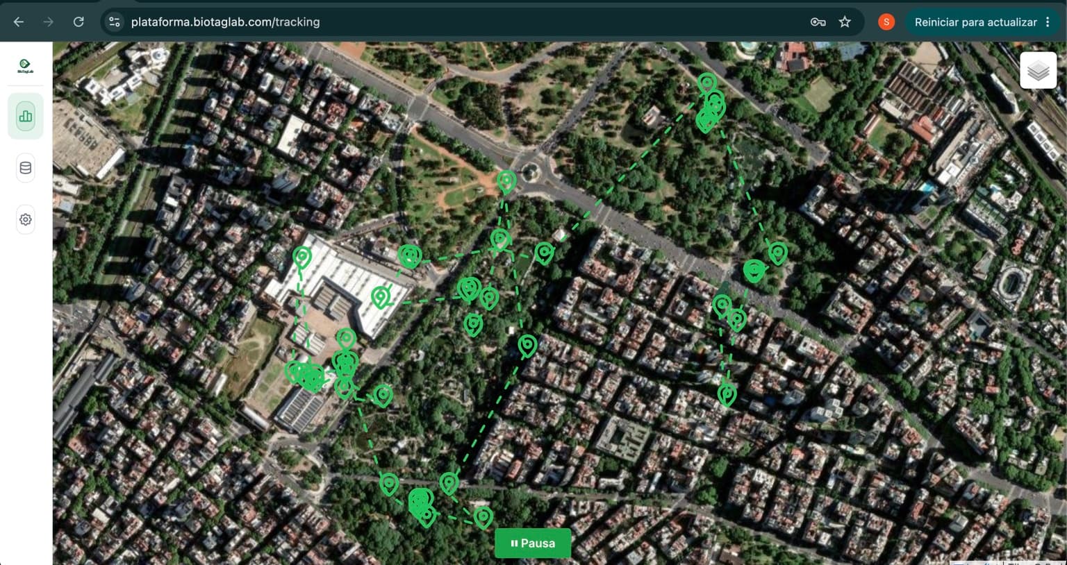
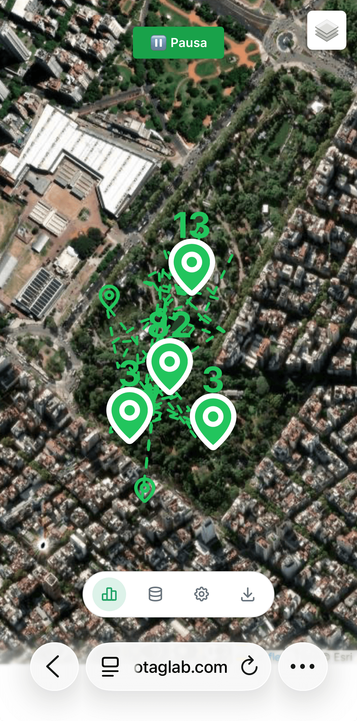
Visualize the location of every device over satellite cartography, together with trajectories and operational status.
Reconstruct routes, analyze trajectories and review the behavior of each individual over time.
Consult temperature, weather conditions and other environmental variables associated with each recorded location.
Overlay protected areas, bodies of water, land use, administrative boundaries, satellite imagery and other GIS layers to contextualize each record.
Configure alerts for geofences, communication loss, low battery and other relevant events for each project.
Generate reports and export information in CSV, GPX, KML and GeoJSON to integrate it with scientific tools and GIS platforms.
TECHNOLOGIES
BioTagLab combines electronics, firmware and connectivity according to species, weight, autonomy, coverage and reporting frequency.
Frequent transmission for areas with cellular coverage and continuous tracking needs.
Connectivity for remote regions, large environments and projects without nearby infrastructure.
Low power consumption for local networks, regional deployments and proximity monitoring.
Ultralight signals for detection, search and minimal-load solutions.
TRACKERS
Monitoring solutions configured according to weight, environment, coverage and scientific objective.
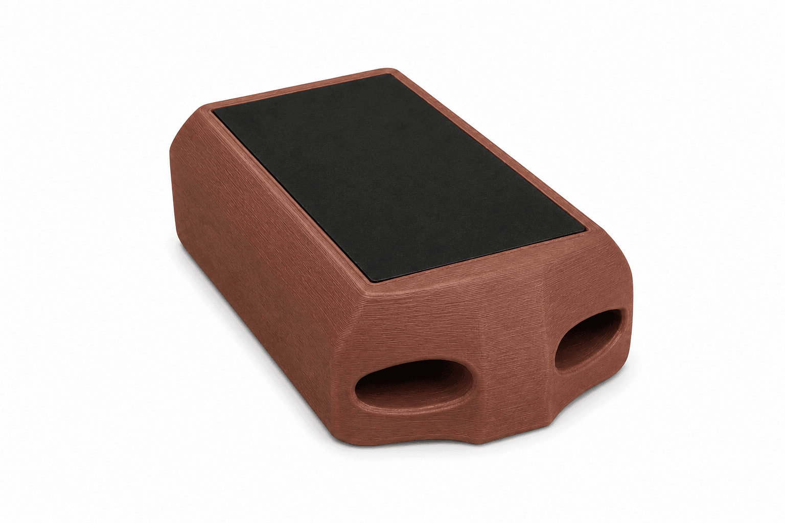
Devices for monitoring projects using 4G/LTE cellular networks. Ideal for areas with mobile coverage.
View models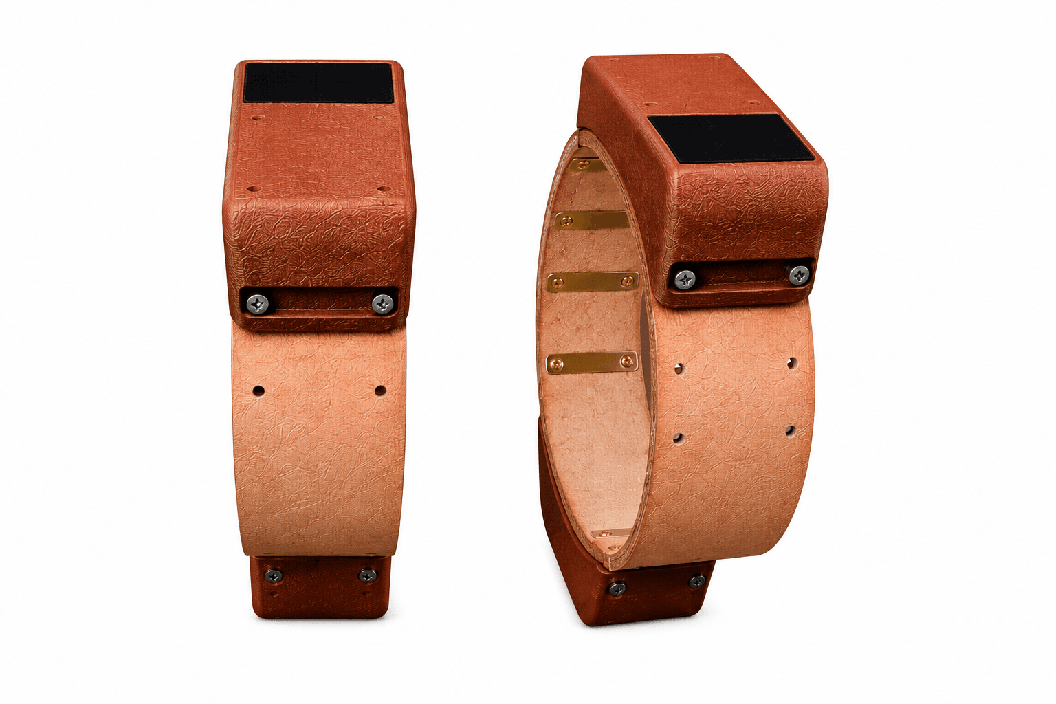
Equipment designed for projects in remote regions where cellular coverage is unavailable.
View models
COMPARE TECHNOLOGIES
| Technology | Coverage | Communication | Data frequency | Consumption | Required infrastructure | Ideal use |
|---|---|---|---|---|---|---|
| GSM / LTE | Areas with cellular network | Bidirectional | High / configurable | Medium | Available cellular network | Frequent tracking in covered areas |
| Satellite | Remote regions | Bidirectional | Configurable | Medium / high | No local terrestrial infrastructure required | Wildlife in areas without cellular signal |
| LoRa | Regional | Bidirectional | High within the covered area | Medium | Receiver, gateway or compatible station | Reserves, fields and projects with a controlled area |
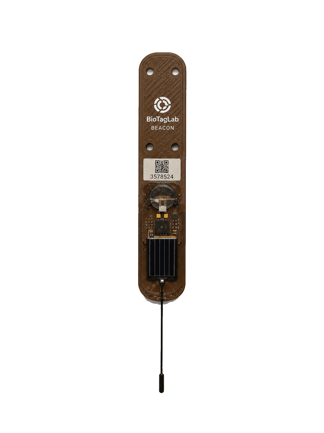
| VHF Beacon | Local | Radio beacon | Periodic pulses | Low | VHF receiver and field tracking | Small species and ultralight devices |
APPLICATIONS
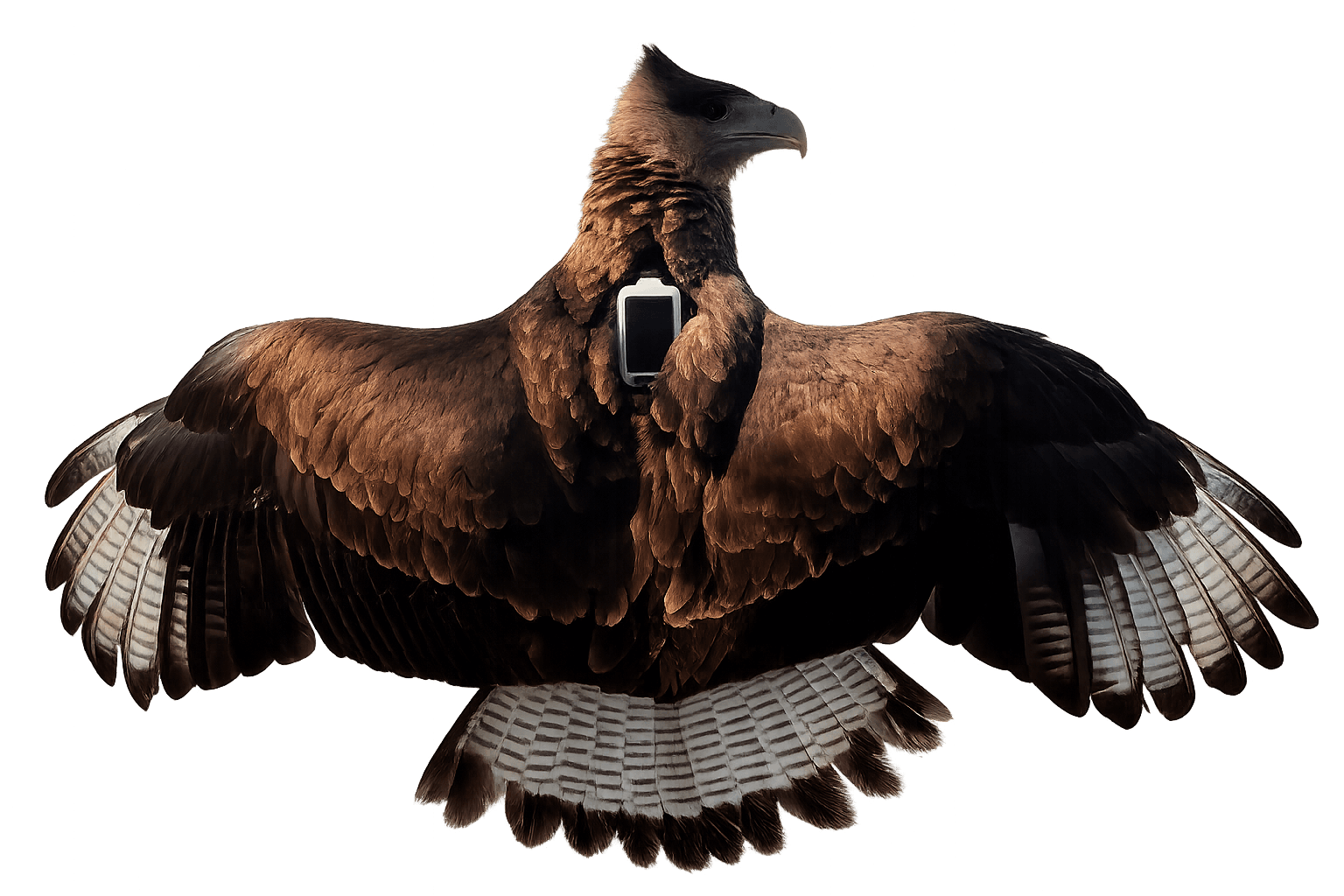
Lightweight devices and configurations designed for aerial movement and territorial behavior.
Monitoring solutions for long-range movement, terrestrial activity and field deployment.
Technology adaptable to different movement rhythms and low-power needs.
Structured data for spatial analysis, reports, collaboration and decision-making.
ABOUT
BioTagLab develops its own technology ecosystem integrating intelligent devices, firmware, software, cloud platforms, artificial intelligence, geospatial analysis and satellite data to generate high-value information for biodiversity research, conservation and management.